
Ram Setu Satellite Images Explained – 2026 Guide
What satellite imagery actually shows about the Ram Setu / Adam's Bridge formation — and where to view it near Rameswaram.
Quick Answer
Ram Setu satellite images show a chain of limestone shoals and sandbanks stretching between Rameswaram in India and Mannar Island in Sri Lanka. While scientists generally classify the formation as natural, its remarkable alignment and connection to the Ramayana continue to make it one of India's most discussed historical and spiritual landmarks.
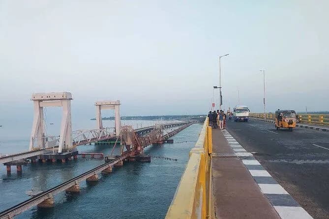
Ram Setu satellite images have fascinated devotees, researchers, historians, and travelers for decades. Many visitors planning a trip to Rameswaram in 2026 want to know whether the chain-like formation visible between India and Sri Lanka is truly the legendary bridge described in the Ramayana.
This guide focuses on micro-location travel planning around Dhanushkodi and Ramanathaswamy Temple, helping visitors connect scientific observations with spiritual traditions.
What Is Ram Setu?
Ram Setu, also known as Adam's Bridge, is a series of shallow limestone formations extending across the Palk Strait. According to Hindu tradition, Lord Rama's army constructed the bridge and the Vanara Sena crossed the sea to Lanka, with the bridge originating near present-day Dhanushkodi.
Why Did Ram Setu Satellite Images Become Famous?
Interest increased dramatically when satellite photographs highlighted the formation's unique appearance.
- A nearly continuous chain structure
- Unusual alignment between land masses
- Shallow underwater formations
- Similarity to descriptions found in the Ramayana
What Do the Satellite Images Actually Show?
Visible Features
Limestone shoals, sandbanks, coral reef formations, and shallow underwater ridges — the formation extends roughly 48 kilometers between India and Sri Lanka.
Scientific Interpretation
Most geological studies suggest the structure formed through natural sediment accumulation, coral reef growth, sea-level changes, and coastal geological processes. However, the formation's alignment continues to generate debate.
Connection Between Ram Setu and Rameswaram
Rameswaram is considered the spiritual gateway to Ram Setu. Traditionally, pilgrims visit Ramanathaswamy Temple, Agni Theertham, Dhanushkodi, and Arichal Munai before learning about the Ram Setu story.
Best Places to Explore the Ram Setu Region
Ramanathaswamy Temple
A visit usually begins here — associated with Lord Rama's worship of Shiva, Sita Devi's sand lingam, and Hanuman's pilgrimage to Kailash. Timings: Morning 5:00 AM – 1:00 PM, Evening 3:00 PM – 9:00 PM.
Agni Theertham
Located approximately 300 meters from the temple — a sacred sea bath and purification point.
Dhanushkodi & Arichal Munai
Approximately 20 km from the temple (30–40 minutes) — the best vantage point for the Ram Setu shallow-water formation.
How to Avoid Rush During Your Visit
- Best days: Tuesday, Wednesday, Thursday
- Avoid Amavasya, Mahalaya Paksha, and festival days
- Best timing: early morning before 8:00 AM
Best Time to Visit the Ram Setu Region
- October to February: best season, comfortable weather
- March to June: hot, visit early morning
- July to September: monsoon, check coastal conditions
Frequently Asked Questions
Ram Setu Satellite Images Explained – 2026 Guide FAQs
Plan Your Rameswaram Journey
Ram Setu satellite imagery bridges science and faith — a natural geological chain that continues to carry immense spiritual meaning for pilgrims visiting Rameswaram.
MyRameswaramTrip provides trusted local support for Ramanathaswamy Temple darshan, 22 Theertham guidance, puja booking, Dhanushkodi travel planning, and stay arrangements near the temple.